
Kerlingarfjöll
Fire & Ice as One.
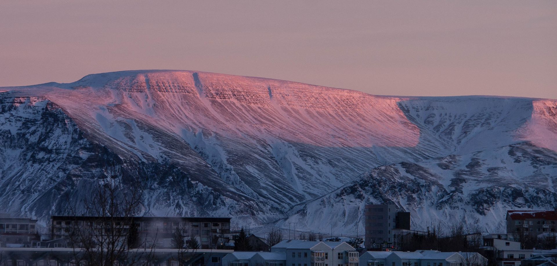
Kerlingarfjöll, a breathtaking mountain range located in the Central Highlands of Iceland, is a must-visit destination for adventure enthusiasts and geology buffs alike.
This stunning area is home to numerous peaks with varying altitudes, offering a diverse range of hiking experiences. Additionally, the region's unique geothermal geology, with its colorful rhyolite mountains, hot springs, and steam vents, makes it an extraordinary natural wonder.
I. The Peaks of Kerlingarfjöll:
Kerlingarfjöll comprises numerous peaks, each with its unique character and appeal. Some of the most notable peaks include:
- Loðmundur (1,477 meters) - The highest peak in the range, Loðmundur offers a challenging climb and exceptional panoramic views from the summit.
- Snækollur (1,461 meters) - Another prominent peak, Snækollur is easily recognizable due to its snow-capped appearance throughout the year.
- Hádegisfell (1,233 meters) - Hádegisfell is popular among hikers for its relatively gentle slopes and stunning vistas of the surrounding landscape.
- Fannborg (1,149 meters) - Fannborg is known for its distinctive tabletop shape, making it an attractive choice for experienced hikers seeking a unique challenge.
- Hveratindar (1,100 meters) - Hveratindar is a cluster of peaks located in the heart of the geothermal area, offering hikers the opportunity to explore the region's fascinating geology up close.
II. Hiking Routes in Kerlingarfjöll:
Kerlingarfjöll offers a wide range of hiking routes, suitable for various skill levels. Here are some of the most popular trails:
- Hveradalir Geothermal Area Loop (Easy) - This 5-kilometer loop trail takes hikers through the heart of the Hveradalir geothermal area, showcasing the region's unique geology and vibrant colors. The well-marked trail features boardwalks and bridges, making it accessible for most hikers.
- Hádegisfell Summit (Moderate) - This 9-kilometer round-trip trail takes hikers to the summit of Hádegisfell, offering stunning panoramic views of the Kerlingarfjöll range and beyond. The path is relatively steep but manageable for those with moderate hiking experience.
- Fannborg Summit (Challenging) - The ascent to Fannborg's summit is a 7-kilometer round-trip hike that tests experienced hikers with its steep inclines and technical sections. The effort is rewarded with unparalleled views from the tabletop peak.
- Loðmundur Summit (Difficult) - Reserved for seasoned hikers, this challenging 15-kilometer round-trip trail leads to the summit of the highest peak in Kerlingarfjöll, Loðmundur. The demanding trek requires navigation skills, physical fitness, and proper preparation.
III. Tips for a Successful Hike in Kerlingarfjöll:
- Check weather conditions - The weather in Iceland, particularly in the Highlands, can be unpredictable. Always check the forecast before embarking on your hike, and be prepared for changing conditions.
Dress in layers - Wear moisture-wicking clothing, a waterproof outer layer, and sturdy hiking boots to adapt to the varying weather conditions and challenging terrain.
- Bring necessary supplies - Ensure you have ample water, high-energy snacks, and a first-aid kit for emergencies. A map and compass or GPS device are also essential, especially for the more challenging hikes.
- Plan your route - Familiarize yourself with your chosen hiking route and its difficulty level. Make sure it aligns with your experience and fitness level. Also, inform someone of your planned route and expected return time.
- Stay on marked trails - To protect the fragile environment and ensure your safety, always follow the designated trails and avoid wandering off the path.
- Respect the environment - Practice Leave No Trace principles, refrain from littering or disturbing the wildlife, and never touch or damage the delicate geothermal features.
- Hike with a buddy or group - Hiking with a partner or group is safer, especially when tackling more challenging trails or when you're inexperienced.
IV. Geothermal Geology of Kerlingarfjöll:
The geothermal geology of Kerlingarfjöll is one of its most captivating features. The area is home to one of Iceland's largest and most active geothermal systems, with numerous hot springs, steam vents, mud pots, and fumaroles scattered across the landscape.
The vibrant colors seen in the region are primarily due to the unique rhyolite rock formations, which are rich in silica and various minerals. When these rocks interact with the geothermal activity, they create a kaleidoscope of colors, ranging from reds and yellows to greens and blues.
Furthermore, the geothermal heat melts the surrounding glaciers, resulting in a multitude of rivers and streams that meander through the valleys, adding to the area's exceptional beauty.
V. Responsible Geothermal Exploration:
When visiting the geothermal areas in Kerlingarfjöll, it's crucial to exercise caution and respect the environment. The following guidelines will help ensure a safe and responsible exploration:
- Stay on designated paths - Always follow marked trails and boardwalks to avoid damaging the delicate geothermal features and vegetation.
- Be cautious around hot springs and steam vents - Geothermal features can be extremely hot and potentially dangerous. Maintain a safe distance and never touch or step into the hot springs or mud pots.
- Avoid inhaling steam - The steam emitted from geothermal features may contain toxic gases, such as hydrogen sulfide. Avoid standing directly downwind of steam vents.
- Leave no trace - Do not leave any litter, and refrain from picking up rocks or disturbing the natural features.
Kerlingarfjöll is a remarkable destination that offers an unparalleled blend of geological wonders and exhilarating hiking opportunities. By following the guidelines and tips provided in this guide, you'll be well-prepared to explore the region safely and responsibly.
So, pack your gear, lace up your hiking boots, and get ready to embark on an unforgettable journey through the captivating landscapes of Kerlingarfjöll, Iceland's geothermal treasure and hiker's paradise.

mountainfamily@mountainfamily.is
Phone: +(354) 77-444-22
Established 2017 - All Rights Reserved
Vatnsból Ehf.